US Rte 66 (I-40) close to Milagro Canyon heading west towards Albuquerque NM.
THE SANDIA MOUNTAINS CHAIN NEW MEXICO
Seen from the East before arriving in Albuquerque New Mexico.
ARRIVING IN ALBUQUERQUE NEW MEXICO
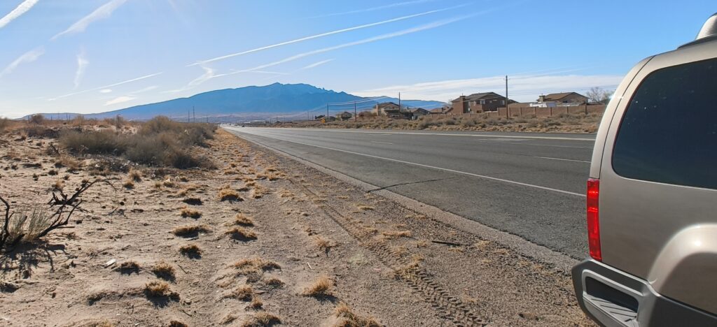
THE SANDIA MOUNTAINS NEW MEXICO
Seen from the West in the Bernalillo Area New Mexico.
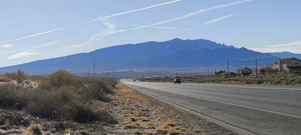
THE SANDIA MOUNTAINS NEW MEXICO
Seen from the West in the Bernalillo Area New Mexico.
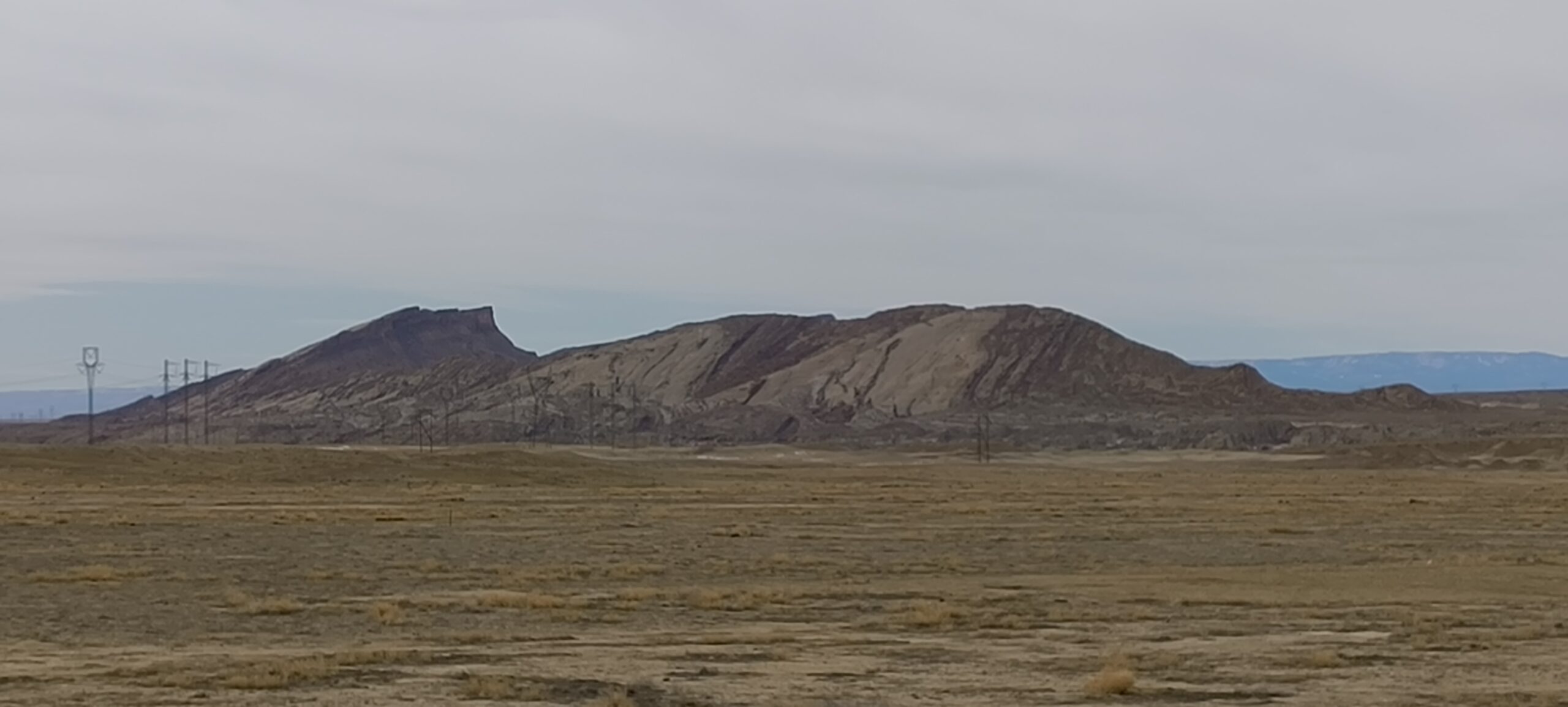
RED MESA NEW MEXICO
Red Mesa to the right on HWY 550 New Mexico, already on Navajo Nation Reservation.
JEMEZ CANYON NEW MEXICO
Entering Jemez Canyon New Mexico.
The Continental Divide
This one is on US 550, New Mexico, at an elevation of 7,380 Feet (2,249 Meters). Near Cuba New Mexico.
Rainfall divides at these points. To the West it drains to the Pacific Ocean and to the East it drains to the Atlantic Ocean. The line goes all the way from Alaska to almost Cape Horn in South America.
Apache Reservation New Mexico
State Road US 550 near Cuba, New Mexico, heading NW towards Navajo Reservation.
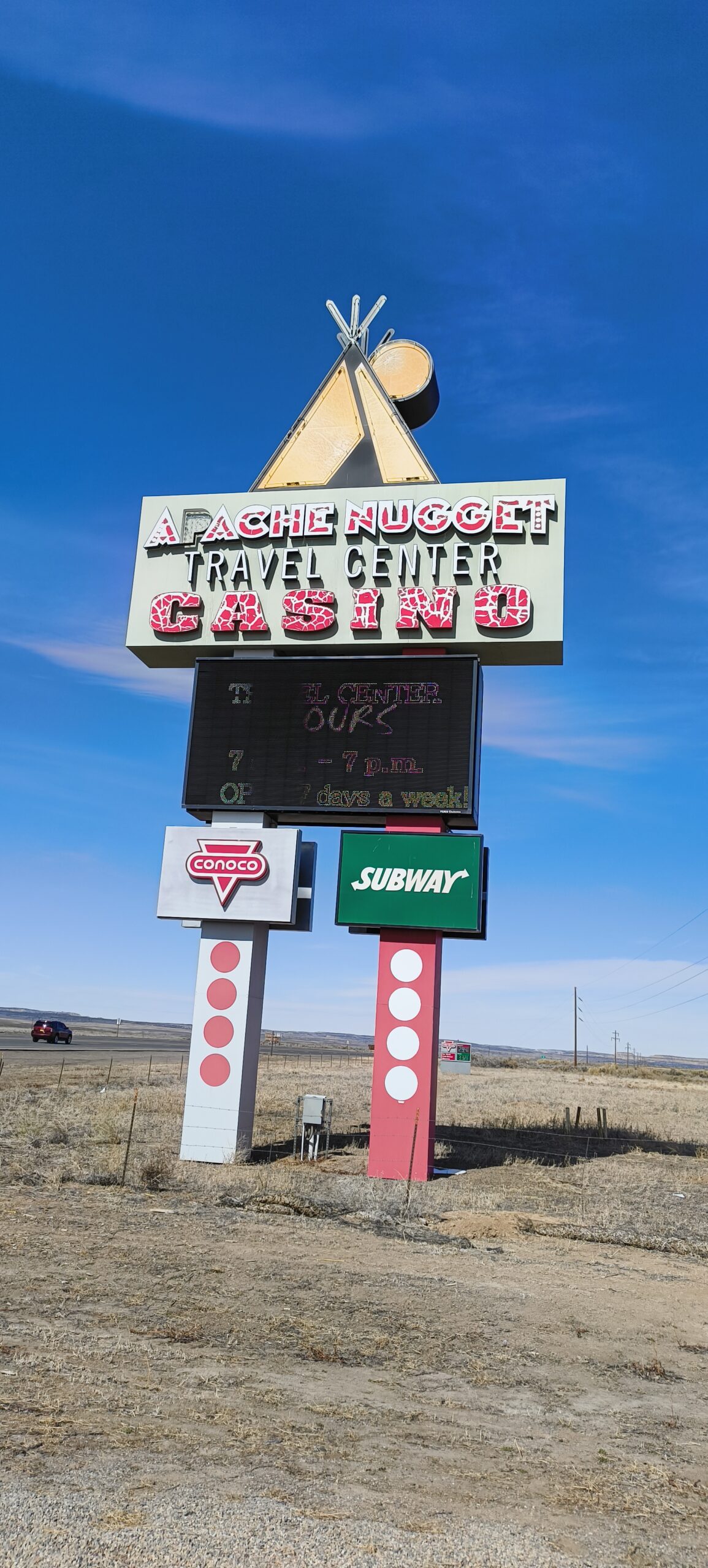
Apache Nugget Casino, Travel Center and Gas Station.
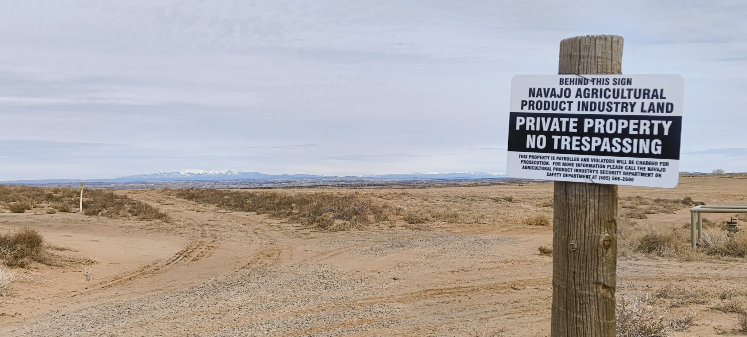
Navajo Agricultural Land
Made a left off of US 550 onto County Road 7010 right through the Navajo Reservation agricultural lands near Bloomfield, New Mexico.
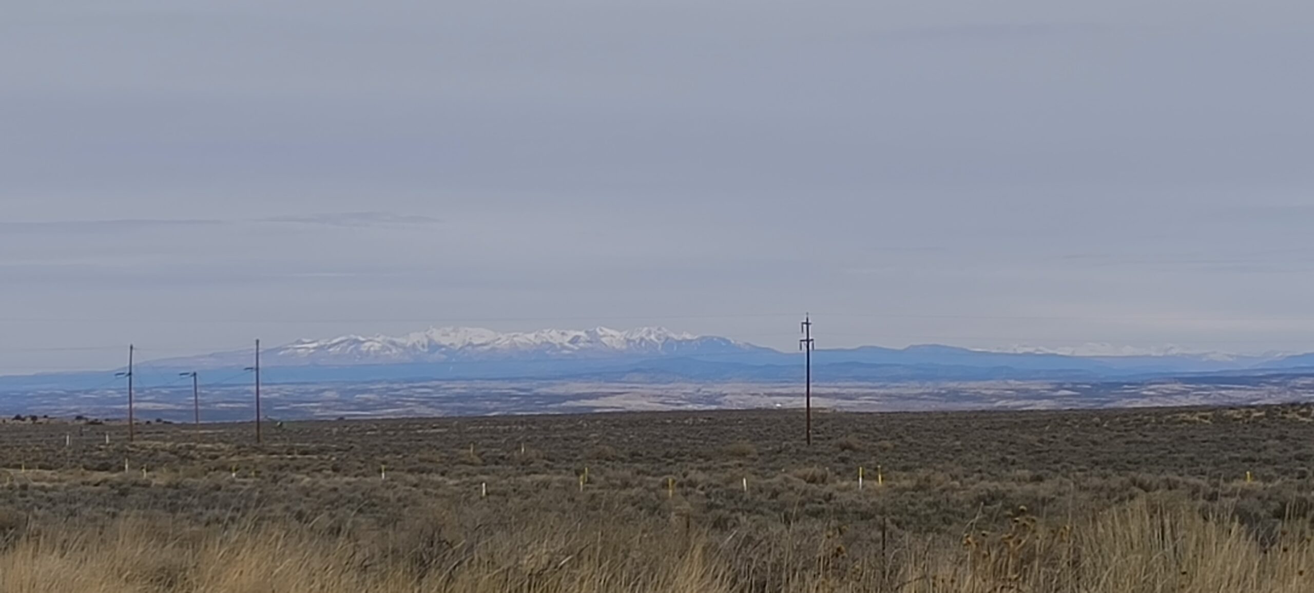
You can see the San Juan mountains in the horizon, which extend onto Colorado.
San Juan mountains from the New Mexico side.
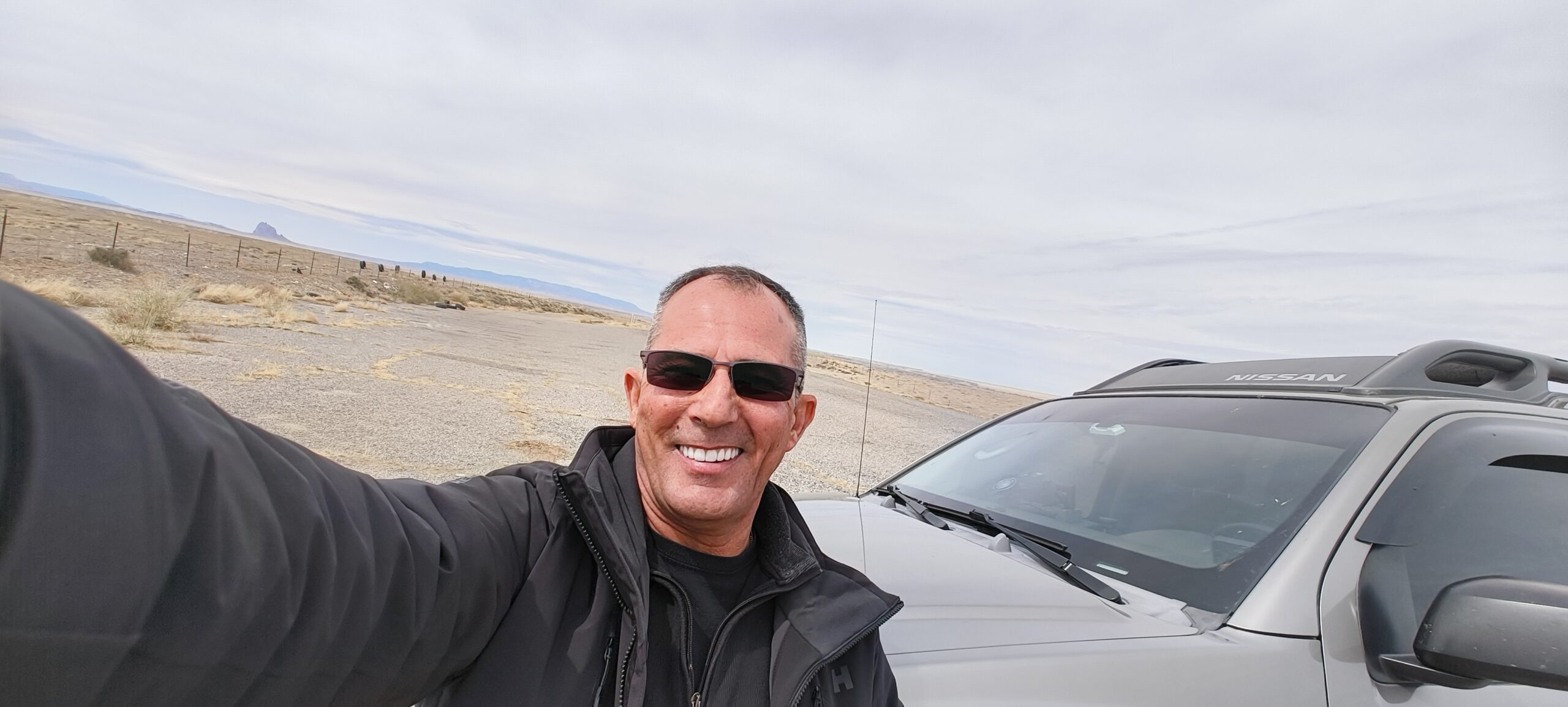
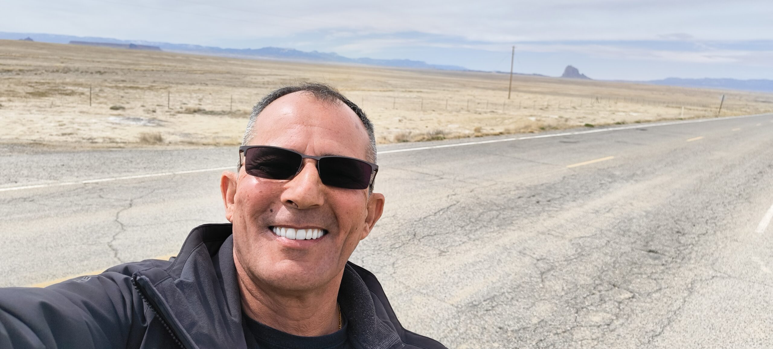
The Hogback Indian Rte N36 New Mexico.
The Continental Divide
This one is on US 550, New Mexico, at an elevation of 7,380 Feet (2,249 Meters). Near Cuba New Mexico.
Rainfall divides at these points. To the West it drains to the Pacific Ocean and to the East it drains to the Atlantic Ocean. The line goes all the way from Alaska to almost Cape Horn in South America.
Followed Route 66 from Amarillo Texas till Albuquerque New Mexico.